02

ELEVATED INSIGHTS

DRONE DATA POWERING DEVELOPMENT

Joe Marshall, Technical Consultant at Cogeo
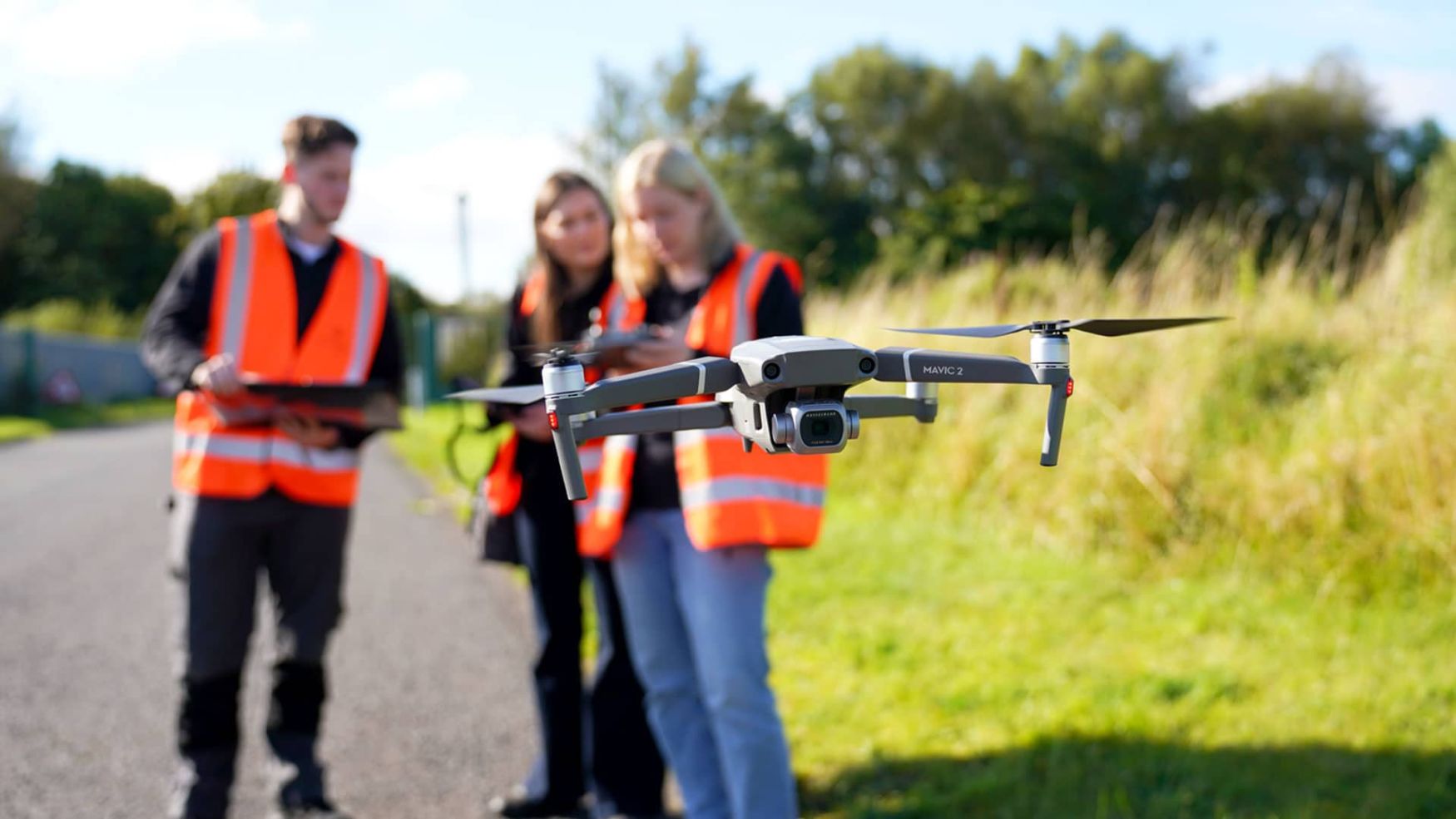
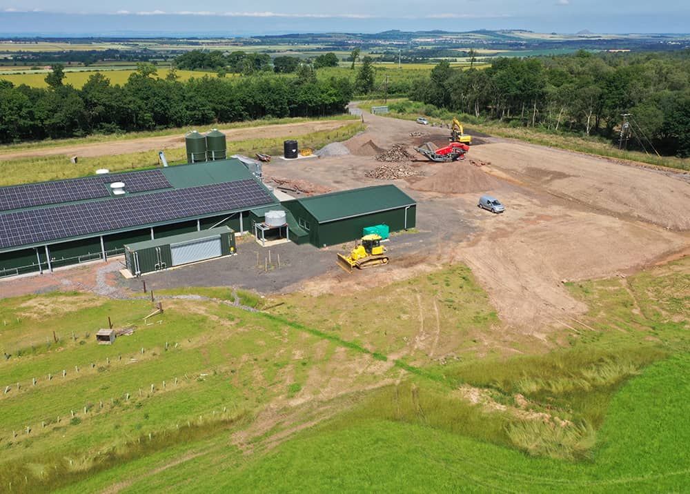
image of farm barn using solar panels

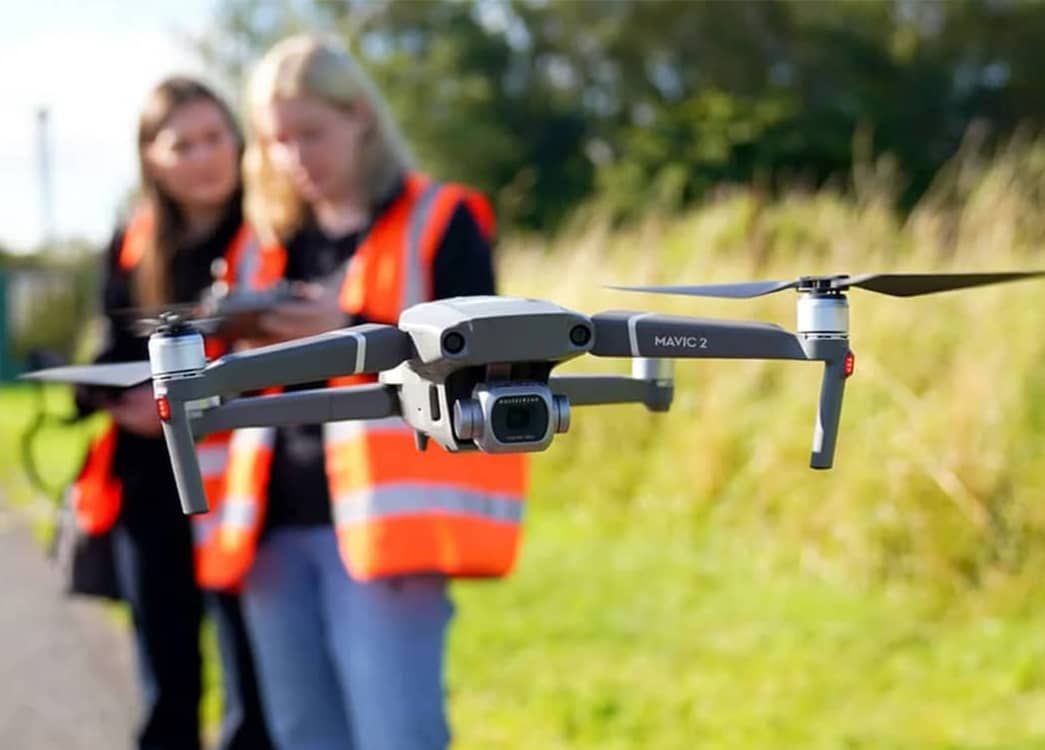
Drones play a vital role in the development process.

Here, we look at why our clients use these services in some detail.

PROVIDE CERTAINTY

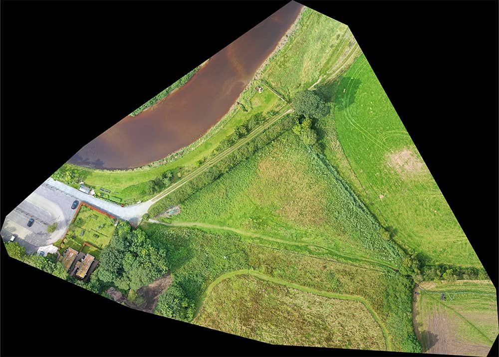
Drone surveys provide high-resolution, up-to-date imagery and data of a site, which is vital for accurate design and knowledge of the construction condition of a site.

VARIETY OF DATA

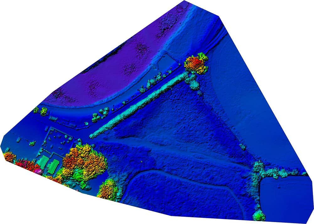
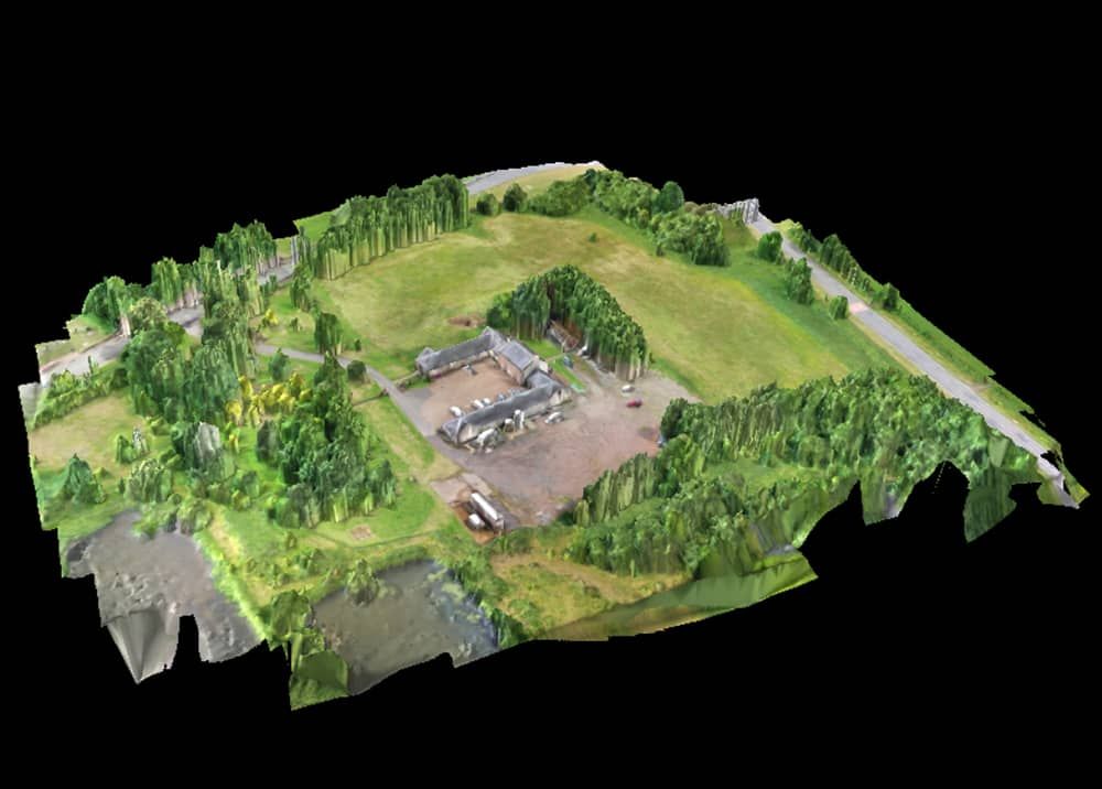
More than aerial photography, drone surveys can provide topographic data, digital surface models (DSMs), 3D images and Digital Terrain Models (DTMs). All this data can be used across multiple software platforms.

IMPROVED EFFICIENCY

Surveys can be completed in reduced timescales compared to traditional methods. Although the complete accuracy of some surveys cannot be replicated, drones can provide a useful and rapid substitute, or a complimentary service to other surveys. The real efficiency value is the accuracy of the data and how this information can provide insight for other planning and environmental disciplines from ecology and hydrology through to heritage and landscape.

SUPPORTING SUSTAINABILITY

Drones enhance sustainable development by offering an efficient and precise site assessment method, reducing the reliance on potentially resource-heavy surveying techniques or multiple site visit requirements. Their ability to collect high-quality data quickly and accurately ensures better-informed decision-making, minimising the risk of costly design errors or design iterations that could lead to material waste.

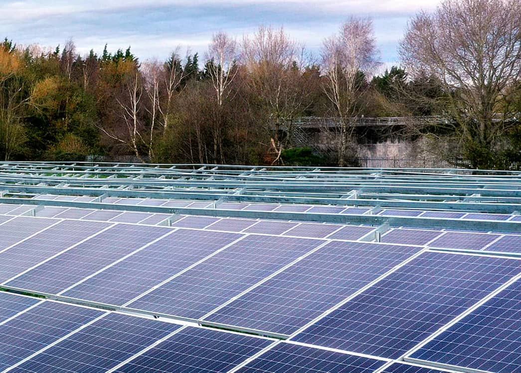
Additionally, drone surveys are particularly valuable in renewable energy developments, such as solar farms, where they support optimised planning and land use, reducing the overall environmental footprint of projects - reflecting our commitment to enabling more sustainable and resource-conscious development solutions.

FLEXIBILTY

By using the right tool for assessment our Site Services department can develop a service that suits both the site, and the facility required.

COLLABORATION

Drones provide visual data which helps turn a concept into a reality. This can be extremely valuable for engaging councils, communities and consultees as part of the development journey.

Did You Know?

Our Landscape Team often uses realistic 3D models superimposed onto drone photography to provide context for a development. This can be particularly useful for low-profile developments that can be hard to comprehend from traditional ground-level photos, such as Solar Farms and Hen Sheds.

Digital Elevation Model

Aerial Imagery

Live 3D Model

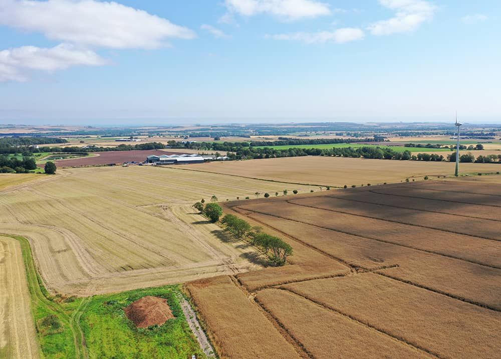
Site Assessment

Construction Monitoring

    “Being trained in traditional surveying methods, I was a bit sceptical about how much value using drones was going to be for our projects. I was wrong to doubt it. It’s another very powerful tool for gathering data at each stage of development. As an engineer, I love accuracy, and the information we can gather improves each of our outputs”.
    - Joe Marshall, Technical Consultant
    decorative line

    WHAT'S INSIDE?

    VIEW MORE ARTICLES