04

COGEO SITE SERVICES
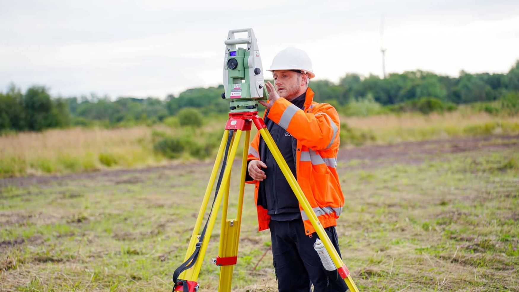
Joe Marshall, Technical Consultant at Cogeo
How can we help?
That question is fundamental to how we operate as a business. We continually communicate with our clients to understand how we can better support them deliver their projects.
It was asking this question that led to our newest enterprise; Cogeo Site Services.
Our new division provides complimentary services that benefit our existing planning and environmental assessments and provide our clients additional support in other technical areas of expertise. All whilst delivering a single point of contact to guide developments from design through to construction.
Expand each title below to explore the four key processes Site Services provides:
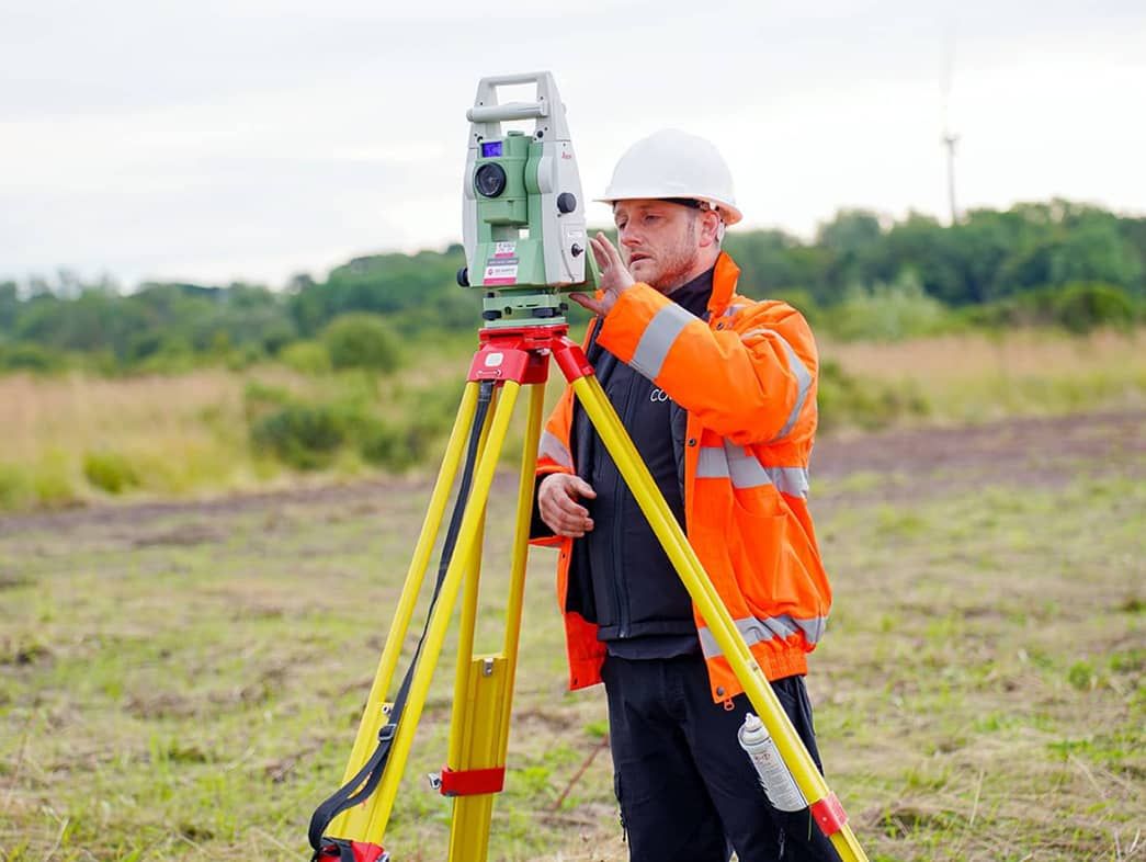
TOPOGRAPHIC SURVEYS
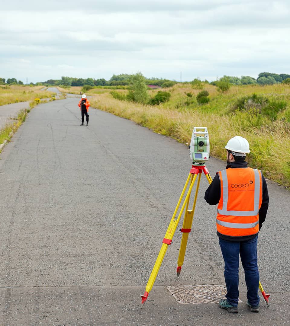
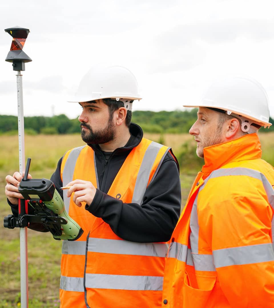
A survey of land to determine the features, levels and boundaries of a site to accurately map changes
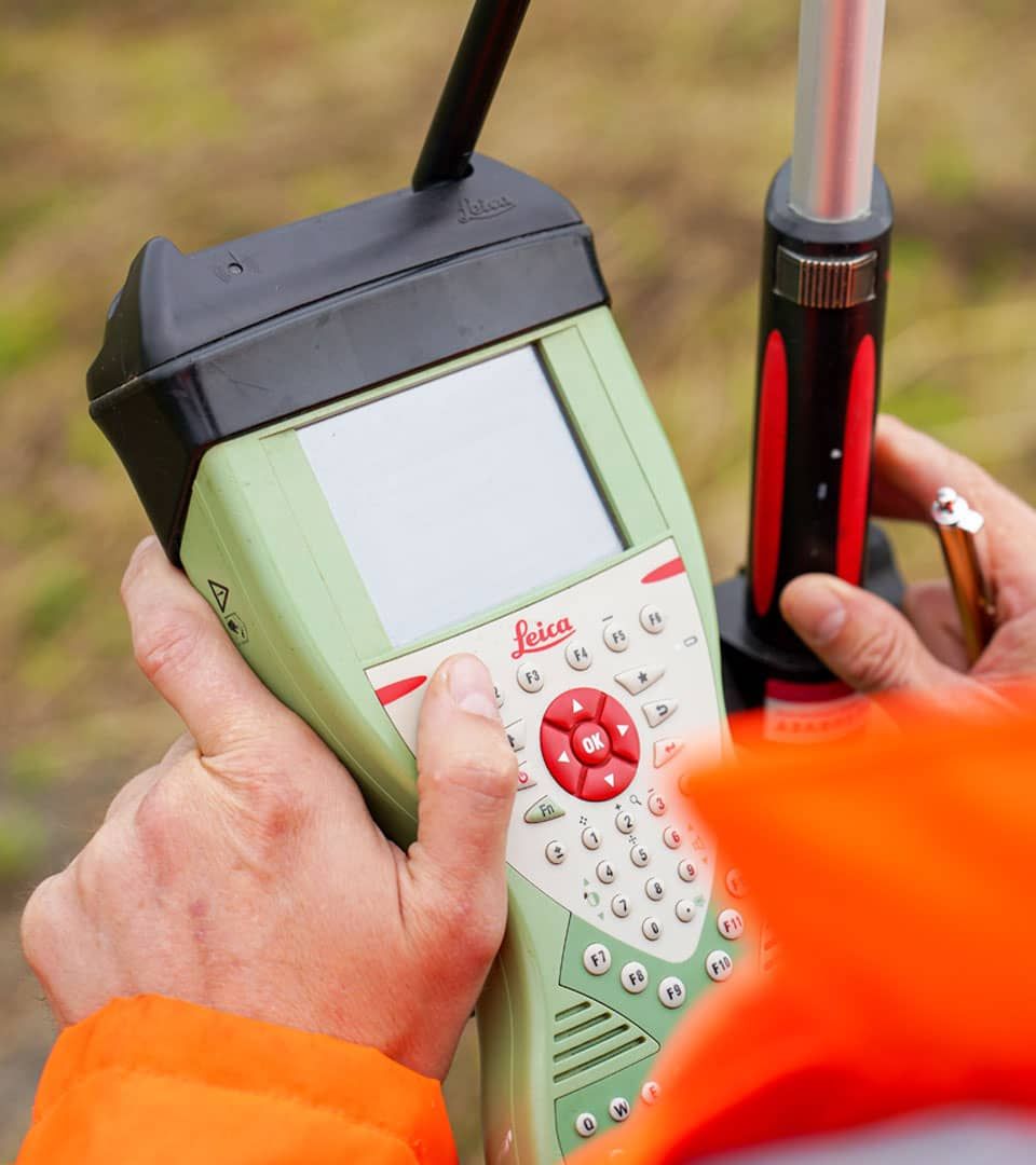
Using laser levels to plot a grid across the site which creates height contours. The survey is non-intrusive but does require unrestricted access to the land. This can sometimes be combined with drone surveys for additional depth of analysis.
Understanding your site levels is a vital requirement for; cut and fill, drainage designs, access routes and site layout. The more accurate the site information, the more accurate our application drawings. This reduces the chances of requiring planning amendments for construction, which can cause programme delays.

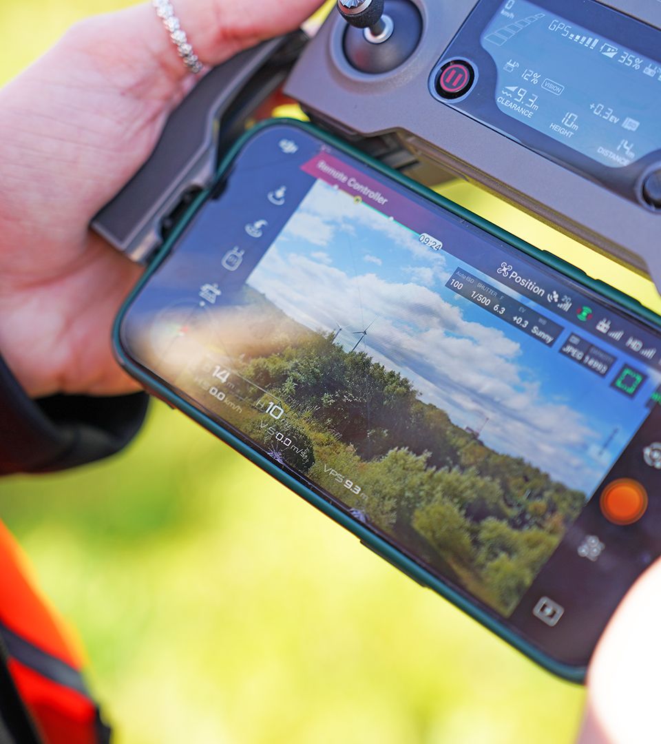
DRONE SURVEYS
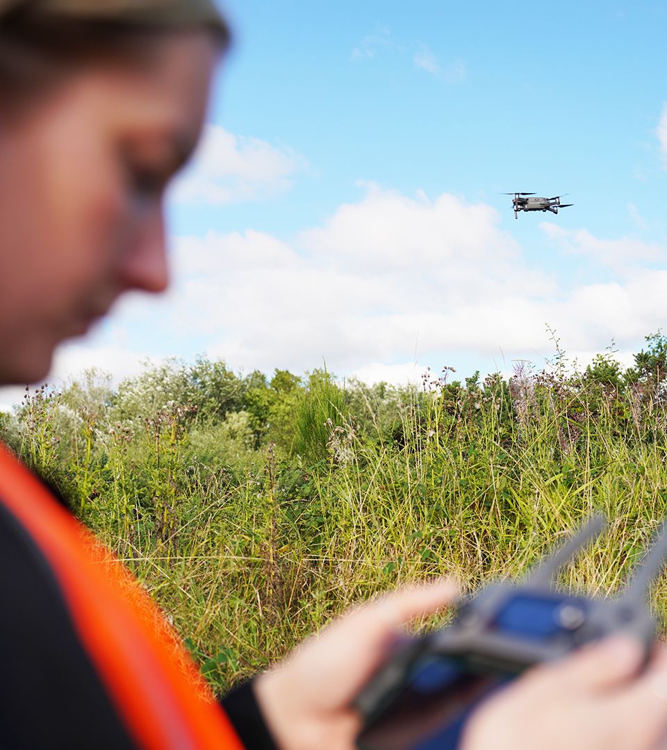
Uses unmanned aerial vehicles (UAVs) for photos, videos, terrain and 3D mapping.
Specialist software creates designated flight paths and captures overlapping images of a site using a remote-controlled drone.
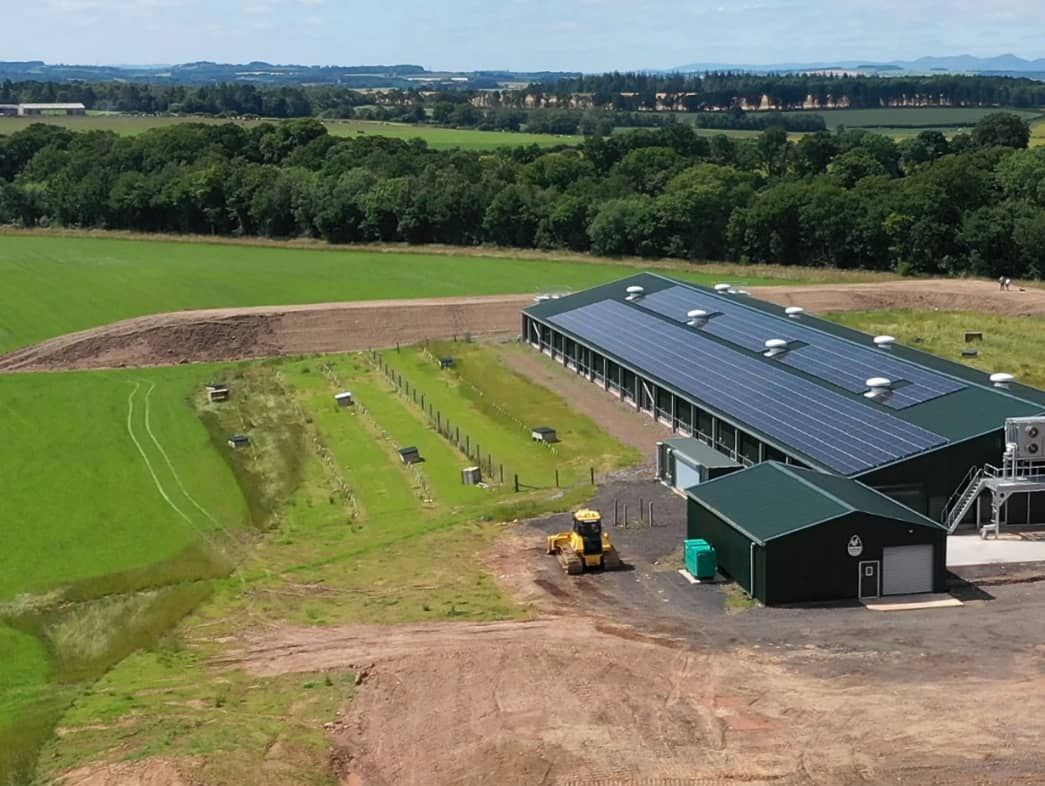
As well as being valuable data on the up-to-date status of a site, the elevated view can reveal valuable information and an accurate record of site conditions. These surveys can also provide photographs for community engagement and as part of visual impact assessments.

GRID CONNECTIONS
A connection that allows electricity to be drawn from or put into the electricity transmission network.
Applications are made to either the District Network Operator (DNO) or National Grid supported by technical information and drawings. The process generally takes a minimum of 3 months.
Any renewable energy project needs a connection to the electricity network. This is one of the three key components for any solar, BESS, or turbine project; land, planning and grid. Other types of development, such as commercial or hen sheds need power imported to the site, which follows a similar process as any export connection.

GLINT & GLARE
Glint is a quick flash, Glare is a longer-term bright reflection from a surface. These are caused by reflective surfaces such as solar panels or glass.
Using a combination of three different software packages, the sun’s angle is plotted for a calendar year and assessed against aviation, roadway, residential and rail receptors.
Predominantly required for roof-mounted and ground-mounted solar arrays, the assessments can be required either before planning is determined or before the installation of the panels. These surveys are required for roof-mounted arrays when there is a risk to aviation, drivers or residences and are a common requirement near airports. They are generally always required for ground-mounted arrays.

The goal of Site Services is to provide a strong foundation for any project our team supports through the development process.
By having a more detailed understanding of the site, the planning applications and environmental assessments we deliver have more accuracy, providing more certainty. The main objective is to close the gap between consented and construction plans to avoid unnecessary changes and delays when building starts. We look forward to bringing you more updates and highlighting some of our essential services in future issues of Outlook.

